A Reflection on FOSS4G North America 2025
A six-hour drive each way through the hills of West Virginia to our nation’s capital might not be on everyone's to do list, but for my visit to FOSS4GNA it was definitely worth it. The chance to meet and mingle with people who generously share their knowledge of coding, data, and theory in a niche field is something that's difficult to replicate via video meetups, forums or social media.
On my drive I listened to The Serviceberry, and it was a perfect allegory to a conference built around open source. Robin Wall Kimmerer might argue that sharing knowledge in this way is part of a gift economy, one in which rewards are not sought outright but rather received through acts of reciprocity, often several times removed from the initial offering of the giver (or developer in this case). While a bit more optimistic than the tone of Paul Ramsey's 2023 FOSS4GNA Keynote, it still resonates with his notion of compounded value.
The event was packed with presentations and discussions from a broad network of professionals who believe deeply in the value of open software and data, and how the two, combined with spatial awareness, can make the world a better place (with a heavy dose of AI of course).
I also had the opportunity to share my own project — a small but successful web application for a medium-sized midwestern city— my own offering to the gift economy.
The weather held up nicely, and I managed to fit in a morning run on the bike path and even catch a concert one evening in DC.

All in all, it was a full and inspiring few days. Below are some of the key projects and talks that caught my attention.
FOSS4GNA 2025 Highlights
Earth Index AI
Organization: Earth Genome
A platform that uses Sentinel-2 data fed through a foundation model to store global imagery embeddings. Invite only currently.
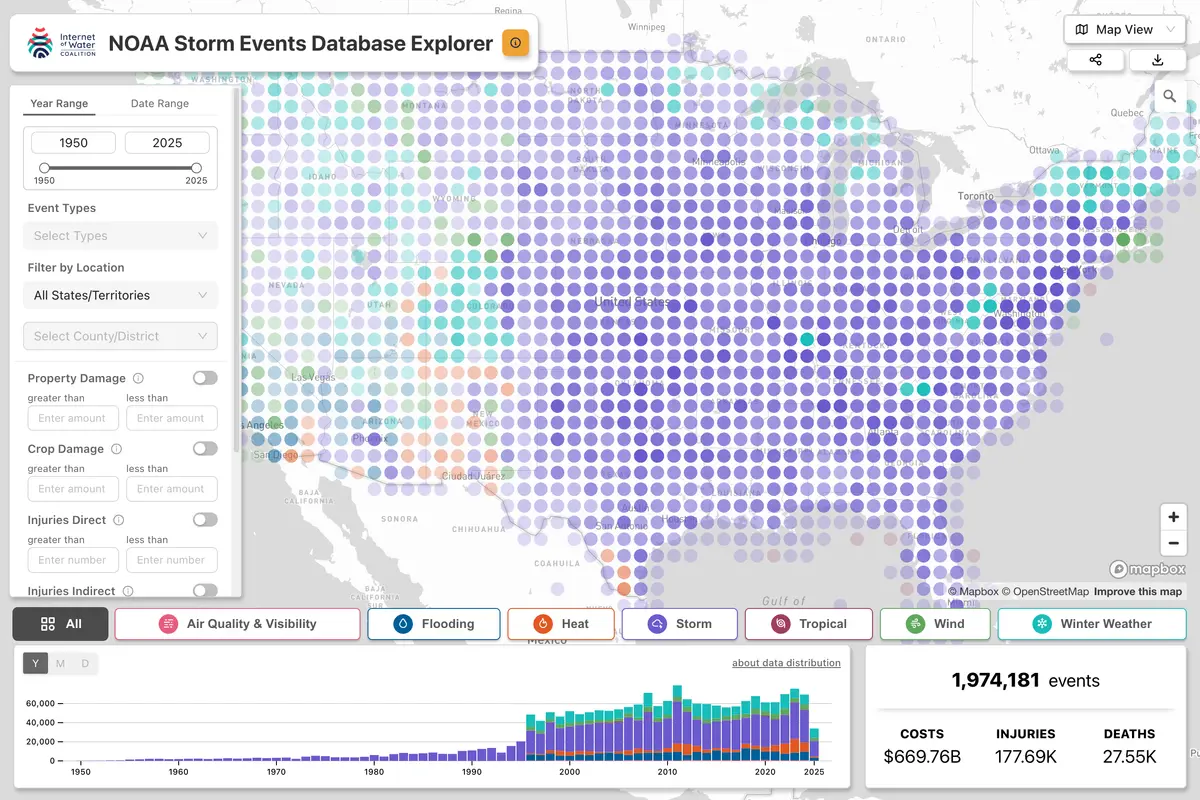
Storm Events
Interactive tool to explore storm and weather events data.
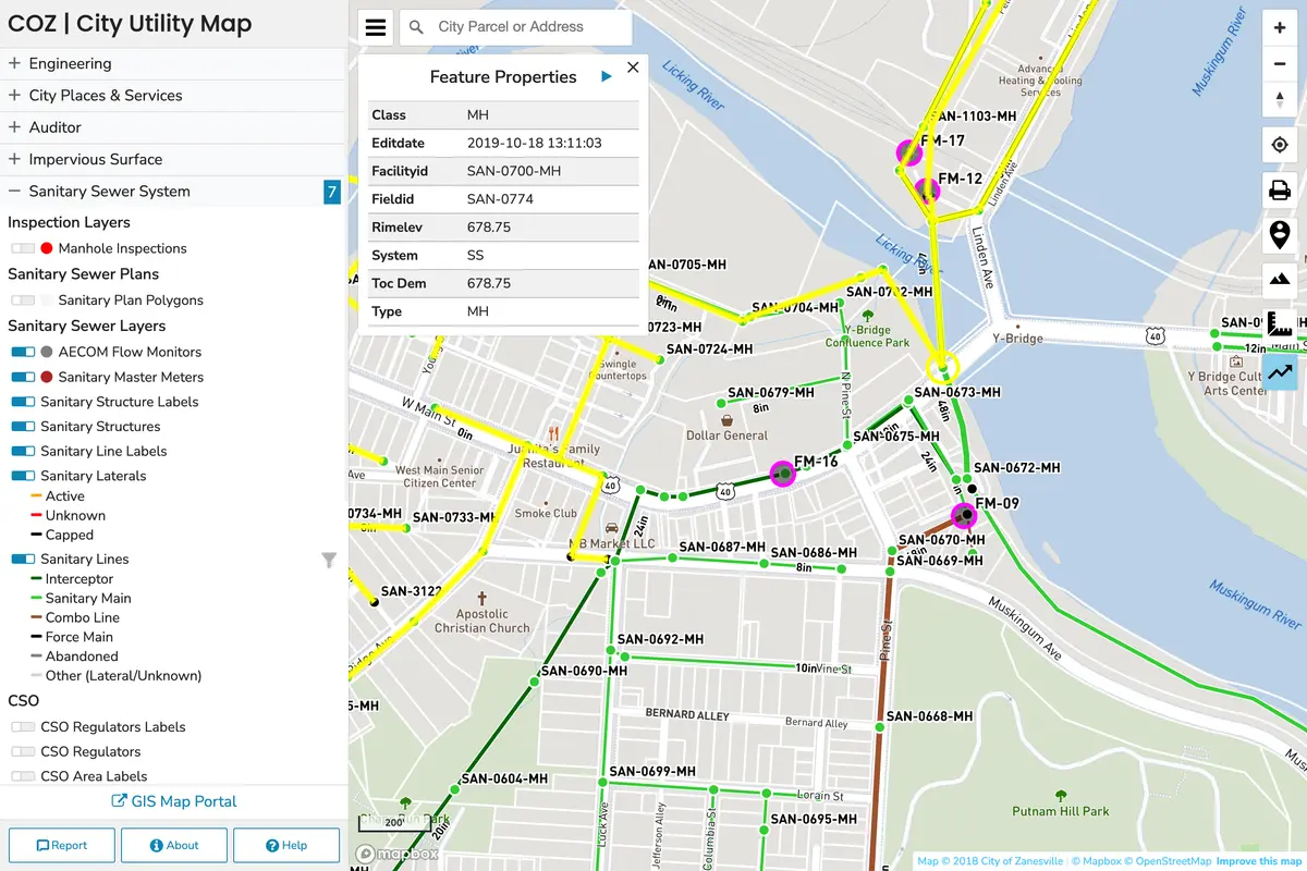
TrueViews
An application built on static GeoJSON and CSV data for geospatial visualization.
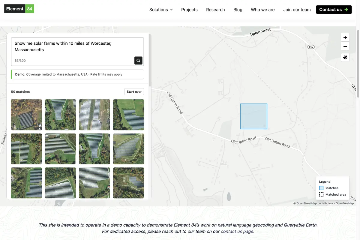
Finding Changes on the Earth with Natural Language
Organization: Element 84
Leverages machine learning to detect changes on Earth using natural language queries.
Queryable Earth
Organization: Element 84
Similar concept to Earth Index but on a smaller scale for querying Earth imagery.
Natural Language Geocoding
Organization: Element 84
Tool to convert natural language descriptions into geographic coordinates.
Geoserver Natural Language Search Plugin
Plugin that enables natural language search capabilities within Geoserver.
Kentucky from Above
KyFromAbove is a comprehensive state-wide imagery program offering a STAC API that provides access to Kentucky’s Imagery and Elevation data, allowing users to search and explore data by both location and time using a browser, QGIS/ArcGIS tools, or a direct API endpoint.